
Ground and access
Survey benchmarks and control points: identify what demolition must preserve
- Ground and access
Published
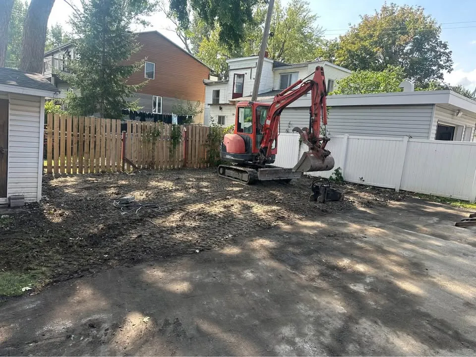
A site-clearing plan may include fences, concrete and small site features that also carry survey references. Before removal, ask the project's survey or design team to identify any control points needed for the next stage.
Distinguish an ordinary feature from a reference
Provide the current survey information to the responsible professional and ask which points matter to upcoming work. Do not relocate a marker or transfer a level yourself. A photograph can record location for discussion, but it does not recreate survey control.
Resolve conflicts before clearing
If a reference lies on an element proposed for removal, ask the surveyor how continuity will be maintained. Record that action in the programme and identify when the affected demolition can proceed. Keep the contractor's removal boundary aligned with the resulting instruction.
- Identify the current survey and contact.
- Mark points the project team says must be preserved.
- Record any required survey work before removal.
Define the next decision
Tell Steelpoint about the confirmed preservation points when requesting site clearing. This turns an easily missed small feature into an explicit site constraint. Surveying and establishment of new control remain separate professional tasks, not an implied part of demolition.