
Local project planning
Woodbridge sites with connected buildings: map what stays
- Woodbridge
Published
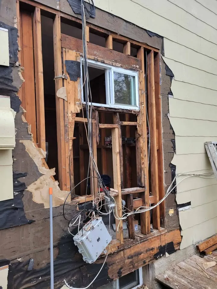
Where a site contains buildings joined by an enclosed passage or later extension, a street view can make separate structures look like one. A removal map should show the junctions that need assessment, not just the building names.
Make the connection visible on paper
Use a simple plan to identify each building and every link between them. Note which side of a junction is intended to remain. Include available drawings and photographs taken from safe, accessible positions. Do not classify a passage as independent just because it is narrower than the adjoining buildings.
Resolve the retained condition
Ask the design team what must be left at each separation: an enclosed wall, a supported edge or an opening for later construction. The demolition scope and the follow-on work need to meet at that point. Naming the contractor who completes the enclosure helps avoid an unfinished edge being mistaken for completion.
- Label each connection rather than shading across it.
- Identify weather protection after separation.
- Record who confirms the remaining building can be occupied.
Before asking for an assessment
Use the marked connection map in a selective-demolition enquiry. This is a way to frame the assessment, not a demolition sequence. Steelpoint needs the intended retained condition before agreeing the extent of removal at a building junction.